- Created: October 1, 2023 5:28 pm
- Updated: October 18, 2023 2:55 pm
- Distance Instructions
- Distance 23 miles
- Time 45 min
- Speed 31 mph
- Min altitude 7812 ft
- Peak 10118 ft
- Climb 2674 ft
- Descent 584 ft
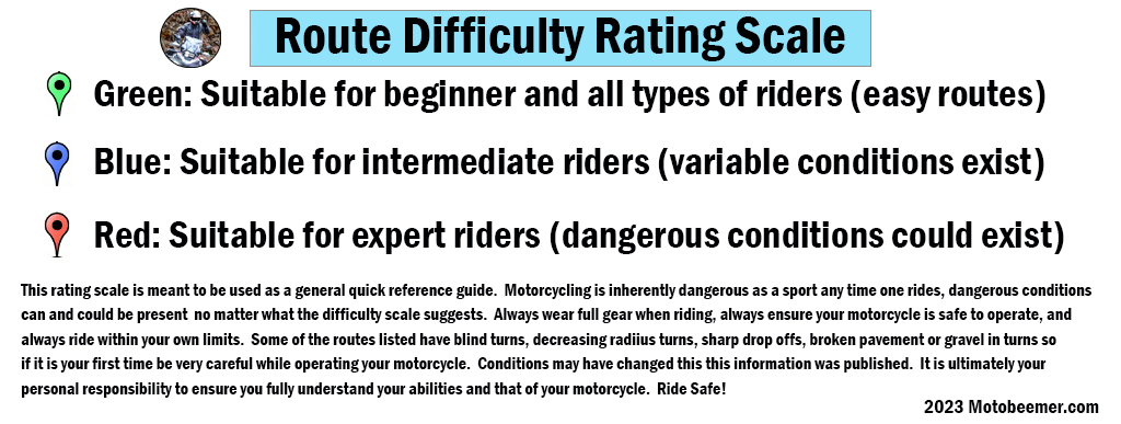
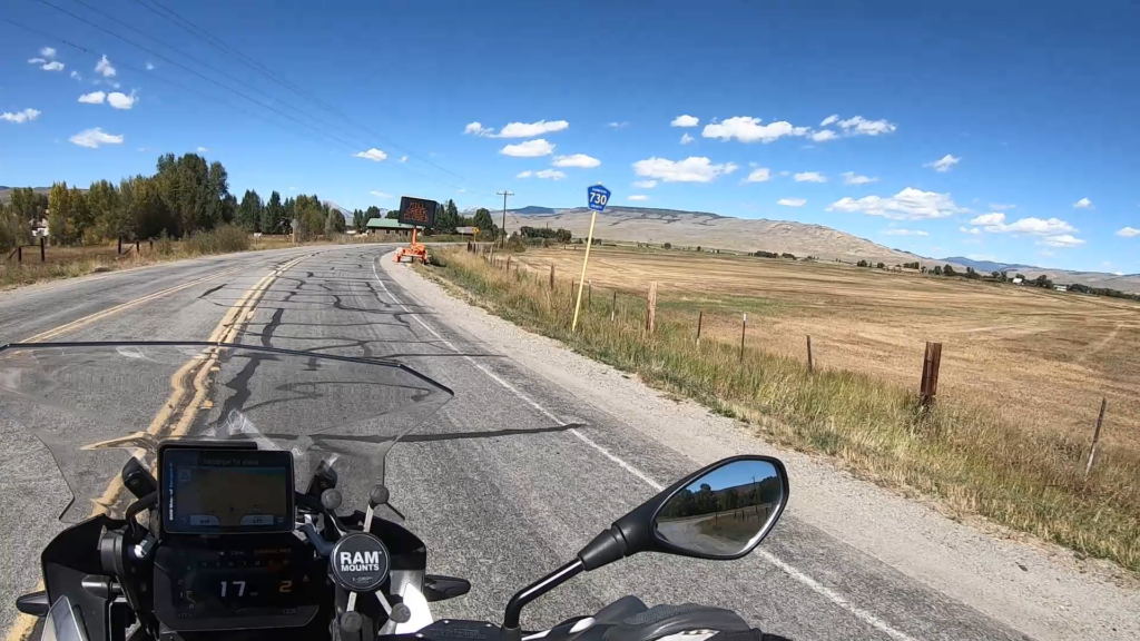
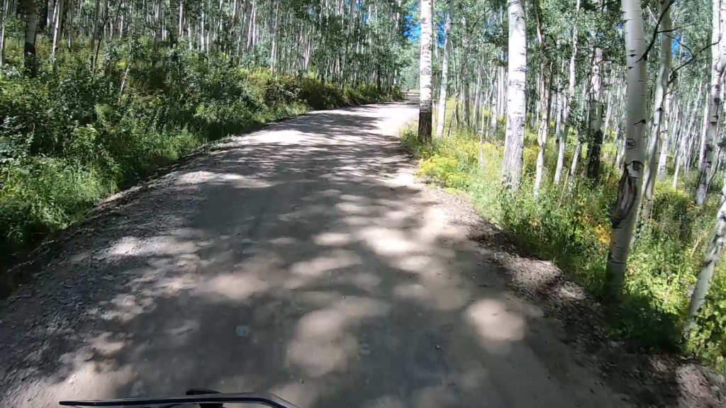
Route 730 is a reasonably fun ride starting just north of Gunnison where it eventually intersects with Route 12 near Crested Butte, CO, Route 730 starts paved through ranch country but eventually turns to gravel and does get a little bit challenging but nothing an intermediate rider on a dirt capable (Adventure or similar) bike couldn't handle. It does get a little rocky with some elevation changes but is very tame compared to some other trails. One could take this as a scenic shortcut from Gunnison to CB, or just to experience the ride itself. There is one shelf road bit and a few nice spots to pull over for pictures.
1. Route 730

Gunnison is near Blue Mesa Reservoir. Primary access to Gunnison is from Salida to the east via Monarch Pass or from Montrose, Colorado, to the west via Cerro Summit on U.S. Highway 50. U.S. Highway 50 is the main east-west thoroughfare through the town. There are numerous other ways to get to Gunnison, some of which are subject to seasonal closures (Kebler Pass, Cottonwood Pass). At the 2010 Census there was a population of 15,324 within the county.
Source: Wikipedia
Route 730 is a reasonably fun ride starting just north of Gunnison where it eventually intersects with Route 12 near Crested Butte, CO, Route 730 starts paved through ranch country but eventually turns to gravel and does get a little bit challenging but nothing an intermediate rider on a dirt capable (Adventure or similar) bike couldn’t handle. It does get a little rocky with some elevation changes but is very tame compared to some other trails. One could take this as a scenic shortcut from Gunnison to CB, or just to experience the ride itself. There is one shelf road bit and a few nice spots to pull over for pictures.