- Created: July 11, 2023 8:44 pm
- Updated: November 9, 2023 4:30 am
- Distance Instructions
- Distance 33 miles
- Time 53 min
- Speed 39 mph
- Min altitude 5335 ft
- Peak 9140 ft
- Climb 4872 ft
- Descent 2595 ft

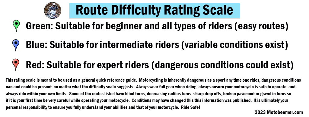
CO 7 is part of the Peak to Peak Highway system and starts out of Lyons, CO and runs to the famed Estes Park, CO. Just northwest of Boulder this route is very accessible and well traveled by tourists and commuters alike.
CO 7 is a great road that offers a relaxed, easy ride with nice mix of sweepers and the occasional hairpin turn, with great pavement and amazing views. It's a fun ride that can be done on any motorcycle with a rider of just about any skill level.
1. CO 7
State Highway 7 (SH 7) is an 81.64-mile (131.39 km) state highway in Colorado, United States. It is located in the north-central portion of the state, traversing the mountains on the east of the continental divide south of Estes Park as well as portions of the Colorado Piedmont north of Denver. The northwestern segment of the highway is part of the Peak to Peak Scenic Byway and furnishes an access route to Estes Park, Colorado and Rocky Mountain National Park. In its southeast portion it skirts the northern end of the Denver Metropolitan Area, providing an access route connecting Boulder, Lafayette and Brighton with Interstate 25 (I-25) and Interstate 76 (I-76).
Source: Wikipedia

CO 7 is part of the Peak to Peak Highway system and starts out of Lyons, CO and runs to the famed Estes Park, CO. Just northwest of Boulder this route is very accessible and well traveled by tourists and commuters alike.
CO 7 is a great road that offers a relaxed, easy ride with nice mix of sweepers and the occasional hairpin turn, with great pavement and amazing views. It’s a fun ride that can be done on any motorcycle with a rider of just about any skill level.


