- Created: August 5, 2023 10:30 pm
- Updated: November 11, 2023 10:05 pm
- Distance Instructions
- Distance 20 miles
- Time 22 min
- Speed 56 mph
- Min altitude 7093 ft
- Peak 8983 ft
- Climb 1998 ft
- Descent 1552 ft
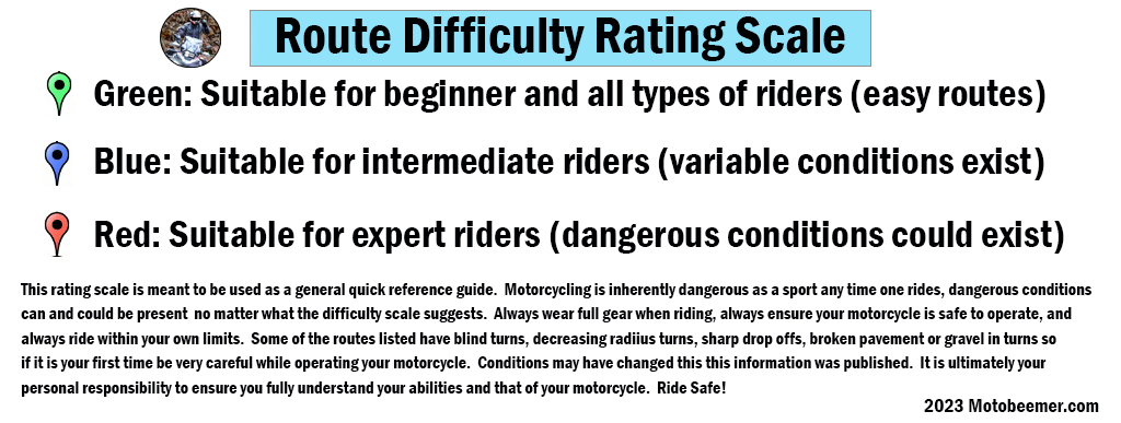
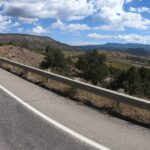
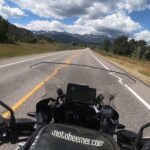
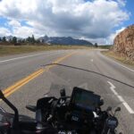
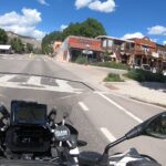
Route 62 runs west from Ridgway (north of Ouray) and although a relatively easier / fun ride with lazy sweepers, it boasts some crazy views of the San Juan Mountains during the beginning of the ride. It can be done on any street bike with any rider without issue. There is a fantastic pull off where one can take some stunning shots, be careful of the gravel here if you are a new rider.
1. CO 62
State Highway 62 (SH 62) is a 23.41-mile-long (37.67 km) state highway in the U.S. state of Colorado. SH 62's western terminus is at SH 145 in Placerville, and the eastern terminus is at U.S. Route 550 (US 550) in Ridgway.
SH 62 starts at a junction with SH 145 just north of Placerville, Colorado in the San Miguel River valley and heads northeast up the Leopard Creek Canyon. The highway bends slowly to the east before crossing the Dallas Divide at an elevation of 8,983 feet (2,738 m). It then follows Cottonwood and Dallas creeks downstream to Ridgway, Colorado. The highway crosses the Uncompahgre River just before ending at a junction with US 550.
Source: Wikipedia

Route 62 runs west from Ridgway (north of Ouray) and although a relatively easier / fun ride with lazy sweepers, it boasts some crazy views of the San Juan Mountains during the beginning of the ride. It can be done on any street bike with any rider without issue. There is a fantastic pull off where one can take some stunning shots, be careful of the gravel here if you are a new rider.

