- Created: August 18, 2023 3:25 pm
- Updated: October 11, 2023 11:22 pm
- Distance Instructions
- Distance 24 miles
- Time 30 min
- Speed 48 mph
- Min altitude 5728 ft
- Peak 6378 ft
- Climb 1486 ft
- Descent 1316 ft
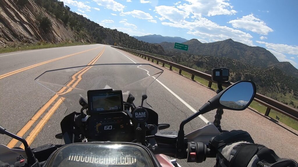
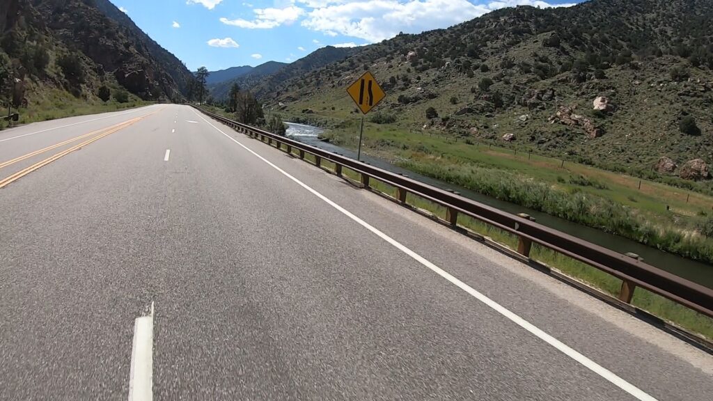
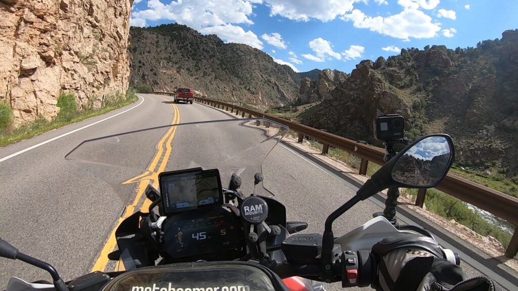
Route 50 RG is the portion of Route 50 that runs from Parkdale, CO to Cotopaxi, CO near the Royal Gorge (RG). Route 50 runs throughout most of the state of Colorado but only some areas are worthy of mapping here, other areas are long / straight / flat and will not be recommended. This section of the road can be run by any type of street motorcycle and any rider, offering great views of the Arkansas River as you wind your way through the canyon. The pavement is fantastic and it's long sweepers and linked turns with lots of areas to pass slower moving vehicles, a really fun ride with some great places to pull off and take pictures.
1. Route 50 RG
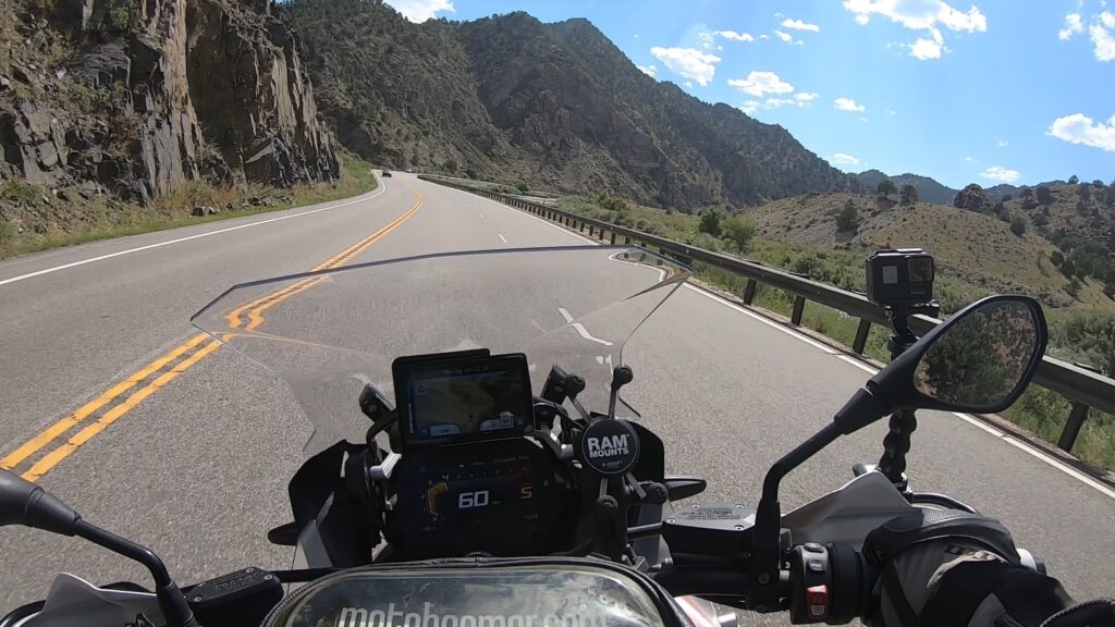
The Royal Gorge is a canyon of the Arkansas River located west of Cañon City, Colorado. The canyon begins at the mouth of Grape Creek, about 2 mi (3.2 km) west of central Cañon City, and continues in a west-northwesterly direction for approximately 6 mi (9.7 km) until ending near U.S. Route 50. Being one of the deepest canyons in Colorado, it is also known as the Grand Canyon of the Arkansas (River), with a maximum depth of 1,250 ft (380 m). The canyon is also very narrow, measuring from 50 ft (15 m) wide at its base to 300 ft (91 m) wide at its top, as it carves a path through the granite formations below Fremont Peak and YMCA Mountain, which rise above the north and south rims, respectively.
Source: Wikipedia
Route 50 RG is the portion of Route 50 that runs from Parkdale, CO to Cotopaxi, CO near the Royal Gorge (RG). Route 50 runs throughout most of the state of Colorado but only some areas are worthy of mapping here, other areas are long / straight / flat and will not be recommended. This section of the road can be run by any type of street motorcycle and any rider, offering great views of the Arkansas River as you wind your way through the canyon. The pavement is fantastic and it’s long sweepers and linked turns with lots of areas to pass slower moving vehicles, a really fun ride with some great places to pull off and take pictures.