- Created: August 5, 2023 11:05 pm
- Updated: November 12, 2023 1:12 am
- Distance Instructions
- Distance 16 miles
- Time 20 min
- Speed 48 mph
- Min altitude 6585 ft
- Peak 7290 ft
- Climb 928 ft
- Descent 1191 ft
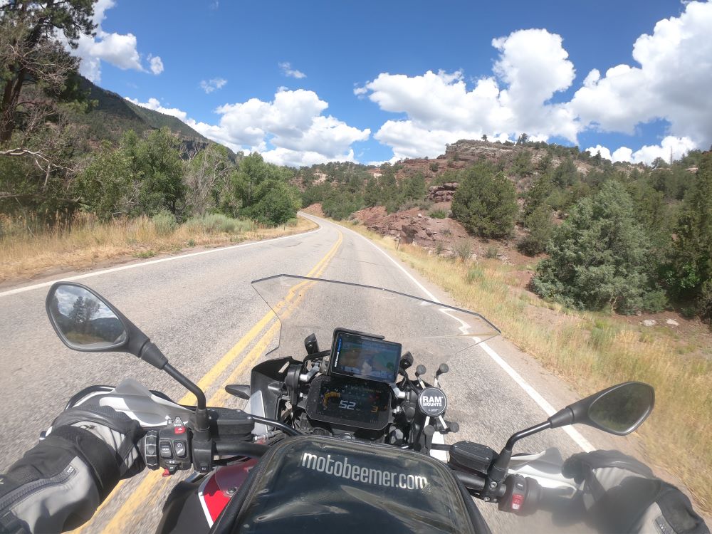
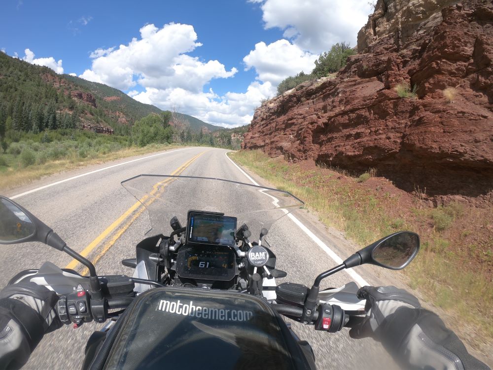
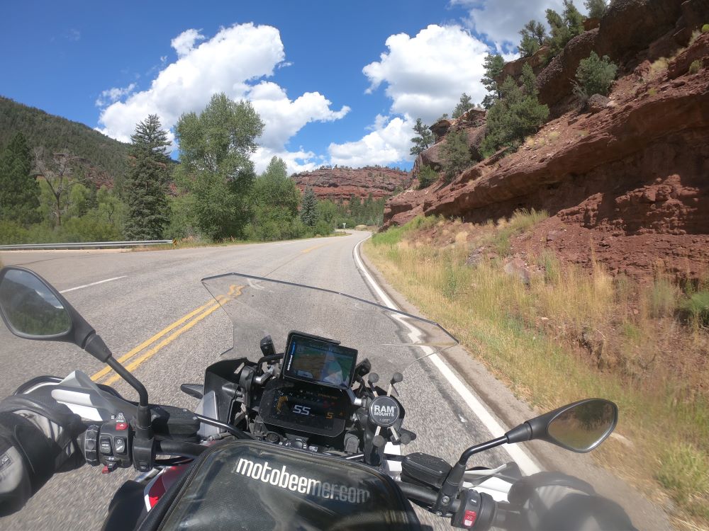
Route 145 basically is an extension of Route 62 at Placerville (blip in the road) and runs through the San Miguel Canyon up to Norwood. For the most part the ride is easier with linked, winding sweepers along the river before climbing (after the bridge) up along a brief shelf road. This section of the road could be intimidating to new riders but it is short with clear visibility of the entire section and as such, the road is rated as a green route. Any type of motorcycle and rider can ride this route as long as care is taken throughout.
1. CO 145

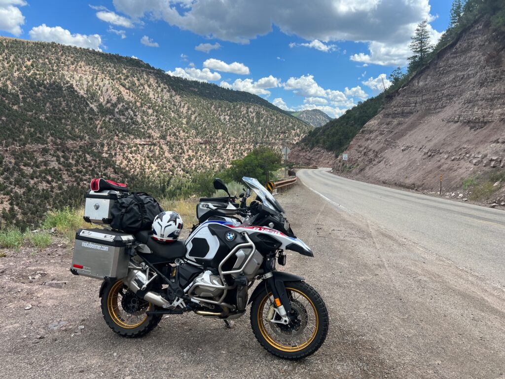
State Highway 145 (SH 145) is a state highway in western Colorado. It runs for 116.879 miles (188.1 km) between U.S. Route 160 (US 160) in Cortez and SH 141 near Naturita.
The route begins in the south at its intersection with US 160 in the eastern portion of the city of Cortez. The route winds northward through the towns of Dolores, Rico, Sawpit, Placerville, Norwood, and Redvale before terminating at the junction with SH 141 about four miles (6.4 km) east of Naturita. Just north of its midpoint between Rico and Sawpit, the road also passes very near and provides access to the town of Telluride as well as Trout Lake.
Source: Wikipedia
Route 145 basically is an extension of Route 62 at Placerville (blip in the road) and runs through the San Miguel Canyon up to Norwood. For the most part the ride is easier with linked, winding sweepers along the river before climbing (after the bridge) up along a brief shelf road. This section of the road could be intimidating to new riders but it is short with clear visibility of the entire section and as such, the road is rated as a green route. Any type of motorcycle and rider can ride this route as long as care is taken throughout.