- Created: October 11, 2023 5:32 pm
- Updated: November 13, 2023 12:25 am
- Distance Instructions
- Distance 7 miles
- Time 21 min
- Speed 19 mph
- Min altitude 7592 ft
- Peak 9354 ft
- Climb 1811 ft
- Descent 535 ft

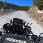
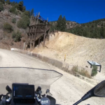
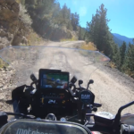
OMG Road (or Virginia Canyon) is a dirt road that switchbacks up from Idaho Springs offering pretty nice views along the way, in addition to some old abandoned mine viewing. The route eventually turns to pavement (and then back to dirt) and winds down into Central City, CO. This is a fun ride close to Denver, although it should definitely be done on a dirt capable bike with an intermediate rider.
1. OMG Road
The City of Idaho Springs is the statutory city that is the most populous municipality in Clear Creek County, Colorado, United States. Idaho Springs is a part of the Denver–Aurora–Lakewood, CO Metropolitan Statistical Area. As of the 2020 census it had a population of 1,782. Idaho Springs is located in Clear Creek Canyon, in the mountains upstream from Golden, some 30 miles (50 km) west of Denver.
Founded 164 years ago in 1859 by prospectors during the early days of the Pike's Peak Gold Rush, the town was at the center of the region's mining district throughout the late nineteenth century. The Argo Tunnel drained and provided access to many lodes of ore between Idaho Springs and Central City. During the late twentieth century, the town evolved into a tourist center along U.S. Highway 6 and U.S. Highway 40, which ascend Clear Creek Canyon through the historic mining district.

OMG Road (or Virginia Canyon) is a dirt road that switchbacks up from Idaho Springs offering pretty nice views along the way, in addition to some old abandoned mine viewing. The route eventually turns to pavement (and then back to dirt) and winds down into Central City, CO. This is a fun ride close to Denver, although it should definitely be done on a dirt capable bike with an intermediate rider.


