- Created: August 5, 2023 7:18 pm
- Updated: November 11, 2023 6:41 pm
- Distance Instructions
- Distance 15 miles
- Time 41 min
- Speed 22 mph
- Min altitude 8556 ft
- Peak 11375 ft
- Climb 2979 ft
- Descent 558 ft
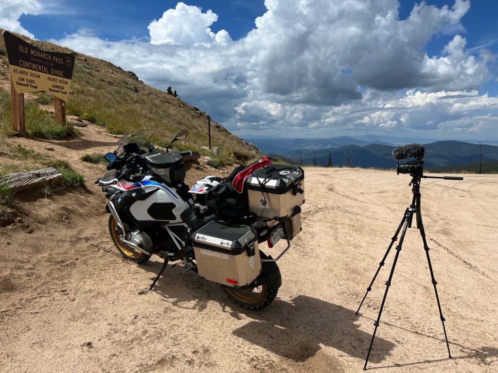
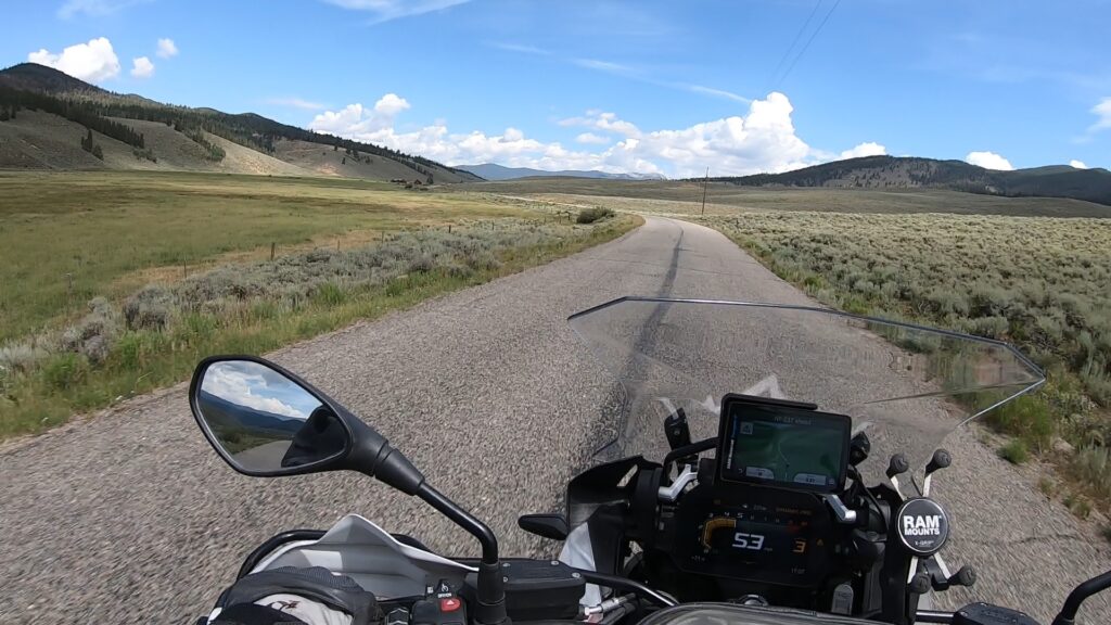
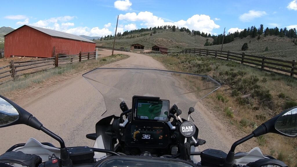
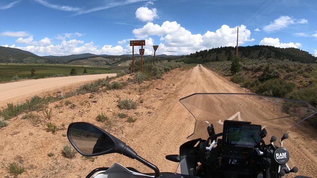
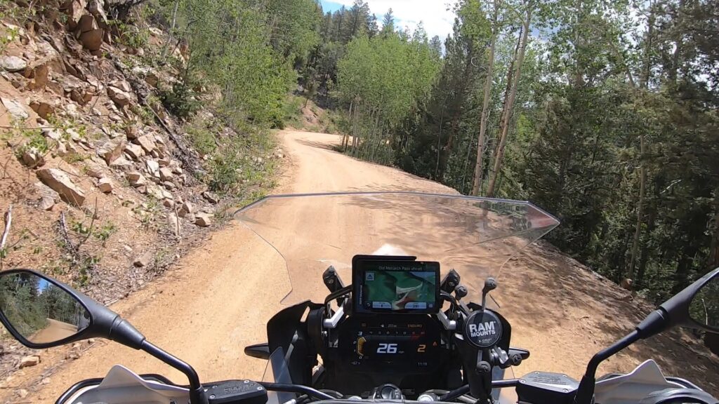
Old Monarch Pass is an easy dirt road that climbs / winds up the south side of the pass, which for a decent rider equipped with the right bike (wouldn't take a street only bike up this) it can be negotiated with relative ease. The views at the top are great, with the long side (12 miles or so) being the south side and the short side (2 miles) being the north side.
The best part about Old Monarch Pass is that it can be used as a way around Monarch Pass in the event of a traffic jam / accident.
1. Old Monarch Pass

A road crossing the Original Monarch Pass was constructed 1880 and served as an important wagon and stage road connecting the town of South Arkansas (later named Salida) on the east side to mining camps and the city of Gunnison on the west side. In 1922, the road was improved and rerouted to better accommodate motor vehicles. The new road crossed the divide at a lower saddle 1.1 miles (1.8 km) to the southeast. This second Monarch Pass is what is now known as Old Monarch Pass. It remained an important unpaved crossing of the divide until 1939 when another highway realignment moved the crossing yet further southeast 0.6 miles (0.97 km) to the third and current Monarch Pass where U. S. Route 50 crosses today.
Today Old Monarch Pass is traversed by Forest Road 237, a gravel road open to vehicular traffic during the summer months. During the winter, the road is not plowed but the pass can be reached by skiers and snowmobilers.
Source: Wikipedia
Old Monarch Pass is an easy dirt road that climbs / winds up the south side of the pass, which for a decent rider equipped with the right bike (wouldn’t take a street only bike up this) it can be negotiated with relative ease. The views at the top are great, with the long side (12 miles or so) being the south side and the short side (2 miles) being the north side.
The best part about Old Monarch Pass is that it can be used as a way around Monarch Pass in the event of a traffic jam / accident.