- Created: November 1, 2023 8:52 pm
- Updated: November 13, 2023 4:20 am
- Distance Instructions
- Distance 35 miles
- Time 33 min
- Speed 64 mph
- Min altitude 6847 ft
- Peak 9426 ft
- Climb 2854 ft
- Descent 1755 ft
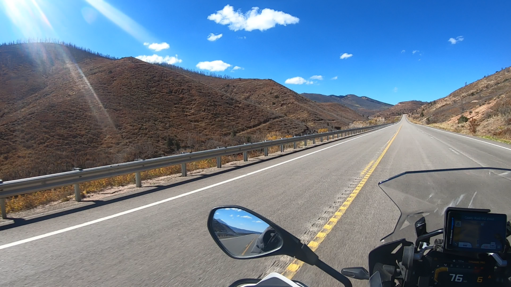
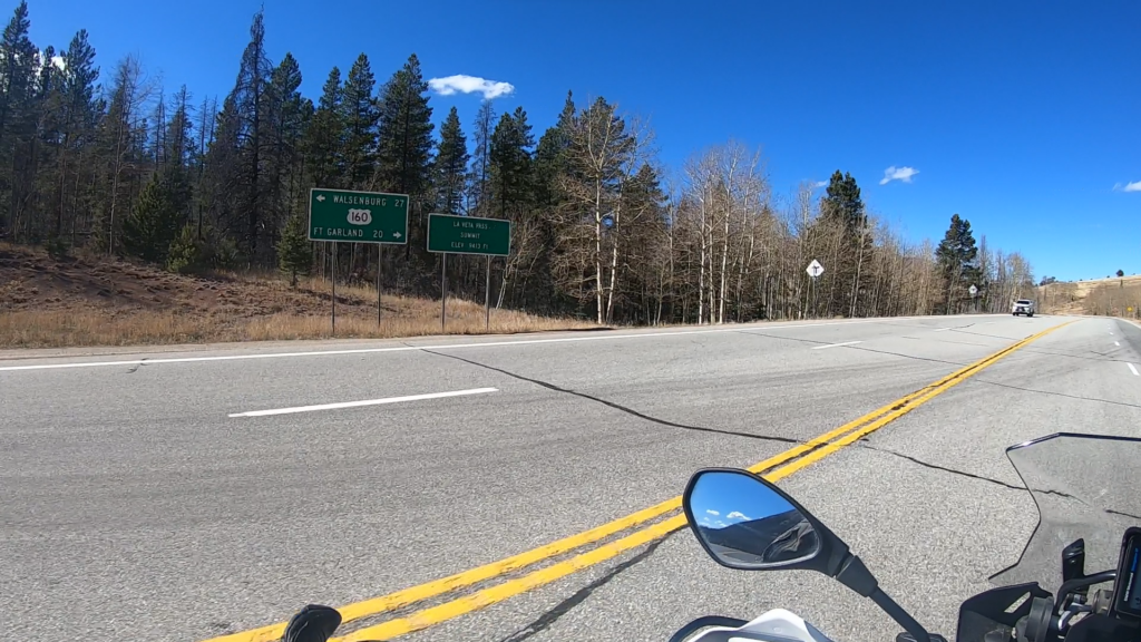
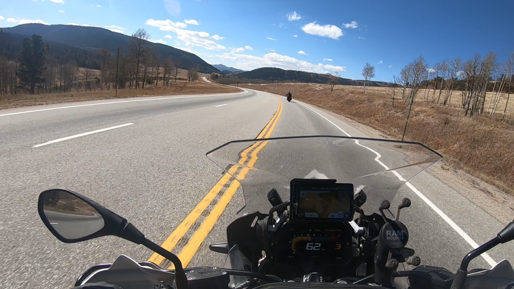
La Veta Pass runs in the southern part of Colorado and is on Route 160 (same as Wolf Creek Pass). While not a high mountain pass or particularly challenging to ride, it offers some great scenery and nice pavement with plenty of passing zones. This would be a great two up ride while heading to the Sand Dunes or just west across the state.
Suitable for any type of rider on any type of bike.
1. La Veta Pass
La Veta Pass is the name associated with two nearby mountain passes in the Sangre de Cristo Mountains of south central Colorado in the United States, both lying on the boundary between Costilla and Huerfano counties.
Old La Veta Pass (officially La Veta Pass), elevation 9,380 ft (2,860 m), was at one time a main travel route between the San Luis Valley and Walsenburg, first on the narrow gauge Denver and Rio Grande Railway, and later on a wagon road and then highway following the same alignment. The route featured two tight curves on the eastern approach to the summit, making the grade feasible for railroad operation, but leaving the route less than satisfactory as a highway. It is now an unpaved and lightly traveled back road.
New La Veta Pass (officially North La Veta Pass), elevation 9,413 ft (2,869 m), lies about 1.6 miles northeast of the old pass and is now the principal highway route through this part of the mountain range, carrying U.S. Highway 160. While this new route is slightly higher, it has no sharp curves and is thus better suited to modern highway traffic.
Source: Wikipedia
La Veta Pass runs in the southern part of Colorado and is on Route 160 (same as Wolf Creek Pass). While not a high mountain pass or particularly challenging to ride, it offers some great scenery and nice pavement with plenty of passing zones. This would be a great two up ride while heading to the Sand Dunes or just west across the state.
Suitable for any type of rider on any type of bike.