- Created: July 1, 2023 8:57 pm
- Updated: November 9, 2023 2:53 am
- Distance Instructions
- Distance 22 miles
- Time 25 min
- Speed 54 mph
- Min altitude 9701 ft
- Peak 11322 ft
- Climb 1903 ft
- Descent 1486 ft
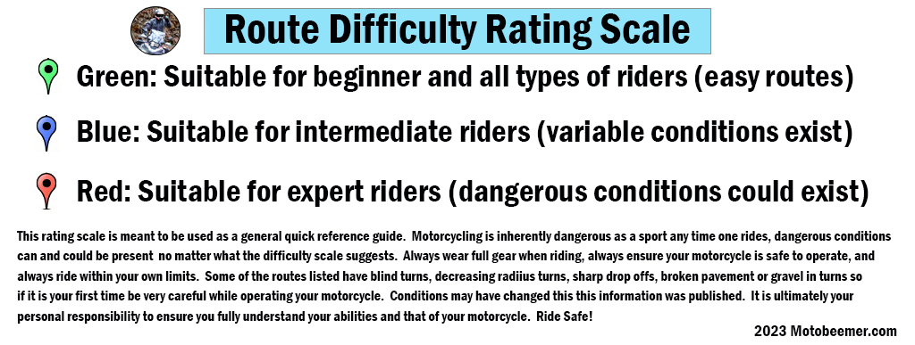
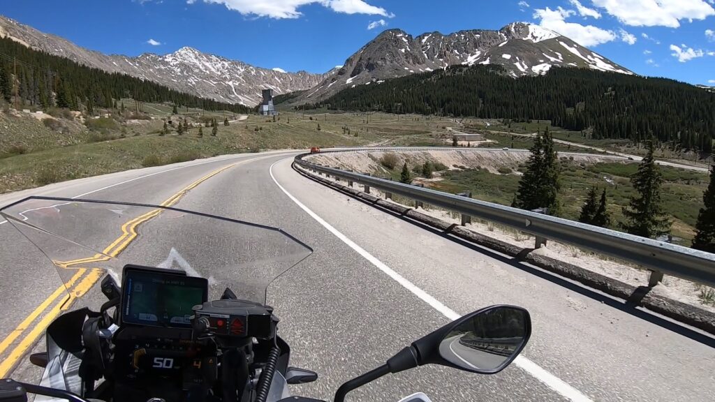
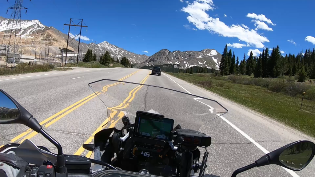
Fremont Pass is a high mountain pass with an elevation of 11,318 ft, a fantastic ride with great mountain views and relatively easy ride that all experience levels will enjoy. The pass itself is around 88 miles west of Denver, CO (or 1.5 hours). The start point begins at Copper Mountain, CO, and the road winds up and over the pass, dropping into Leadville, CO.
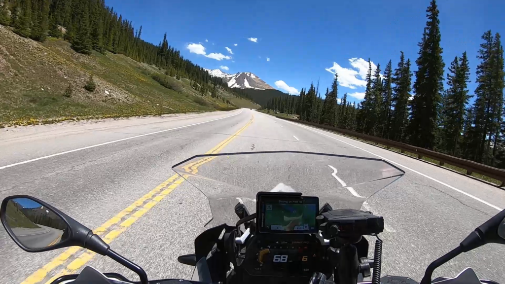
Both sides of the pass are a great motorcycle ride, which could be categorized as a lazy winding road with great scenery for most of the route. Long stretches of double lanes means that traffic moves freely and passing zones are numerous. The top of the pass yields a place to get off the bike to rest, with some pictures to be had of the local mining artifacts that have been left for the public to enjoy / learn about.
1. Fremont Pass
Fremont Pass is a 11,318-foot (3,450 m) mountain pass in central Colorado, in the Rocky Mountains of the western United States.
It forms the continental divide on the border between Lake County and Summit County. The pass is named for John C. Frémont, an explorer of the American West who discovered the pass while traversing present-day Colorado during the 1840s. The pass provides a route between the upper valley of the Blue River, a tributary of the Colorado River, with the headwaters of the Arkansas River to the south. The pass summit is the site of Climax Mine, a molybdenum mine. The pass is traversed by State Highway 91.
Despite being one of the highest mountain passes in the state, the only steep part is the switchback on the final ascent toward the Climax mine on the south side. The rest of the pass is gentle.
Source: Wikipedia
Fremont Pass is a high mountain pass with an elevation of 11,318 ft, a fantastic ride with great mountain views and relatively easy ride that all experience levels will enjoy. The pass itself is around 88 miles west of Denver, CO (or 1.5 hours). The start point begins at Copper Mountain, CO, and the road winds up and over the pass, dropping into Leadville, CO.
Both sides of the pass are a great motorcycle ride, which could be categorized as a lazy winding road with great scenery for most of the route. Long stretches of double lanes means that traffic moves freely and passing zones are numerous. The top of the pass yields a place to get off the bike to rest, with some pictures to be had of the local mining artifacts that have been left for the public to enjoy / learn about.