
- Created: June 23, 2023 3:27 am
- Updated: November 12, 2023 11:56 pm
- Distance Instructions
- Distance 37 miles
- Time 1 h 20 min
- Speed 29 mph
- Min altitude 7982 ft
- Peak 12123 ft
- Climb 3786 ft
- Descent 5341 ft
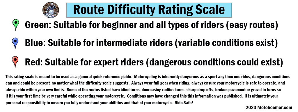
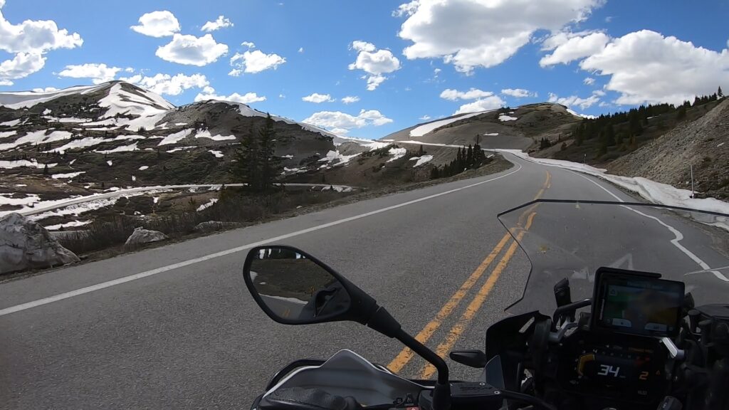
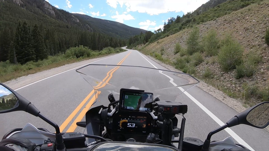
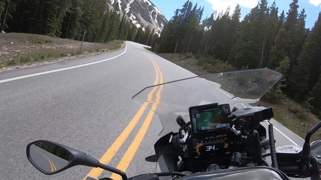
Cottonwood Pass is a great well maintained road that runs west from Buena Vista to the Taylor Reservoir. The start point is 122 miles or about 2.5 hours west of Denver, CO. While running the road west is fun, some might claim running it from the reservoir back up to the pass is even more fun. With plenty of passing zones and places to pull off and take in the views or snap photos it is truly a great experience on two wheels.
1. Cottonwood Pass
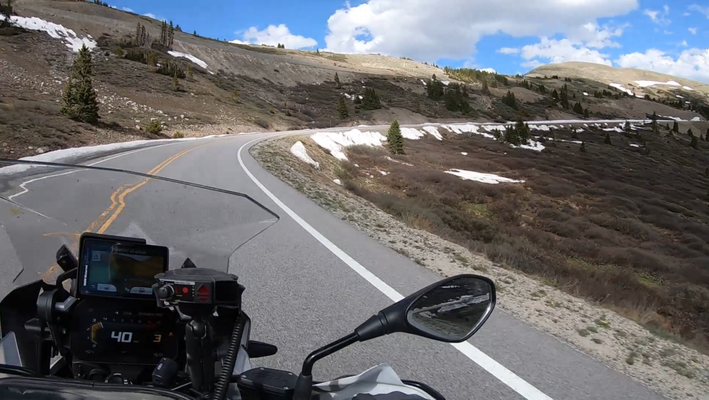
Cottonwood Pass (elevation 12,119 feet (3,694 m)) is a high mountain pass on the Continental Divide in south-central Colorado in the Rocky Mountains of the western United States. It is located along the border of Gunnison and Chaffee counties in Colorado, and is in the Sawatch Range. The road over Cottonwood Pass is the highest paved crossing of the Continental Divide in the U.S., and the second highest pass with an improved road in the state (the highest is Trail Ridge Road, US HWY 34 at 12,183 ft). It is the fourth-highest paved road in the state after Mount Evans Scenic Byway, Pikes Peak Highway, and Trail Ridge Road.
Source: Wikipedia
Cottonwood Pass is a great well maintained road that runs west from Buena Vista to the Taylor Reservoir. The start point is 122 miles or about 2.5 hours west of Denver, CO. While running the road west is fun, some might claim running it from the reservoir back up to the pass is even more fun. With plenty of passing zones and places to pull off and take in the views or snap photos it is truly a great experience on two wheels.

2 comments
Nice job!
Author
Thanks much!