- Created: August 6, 2023 1:23 am
- Updated: November 12, 2023 7:33 pm
- Distance Instructions
- Distance 37 miles
- Time 50 min
- Speed 45 mph
- Min altitude 5758 ft
- Peak 10837 ft
- Climb 5207 ft
- Descent 4695 ft
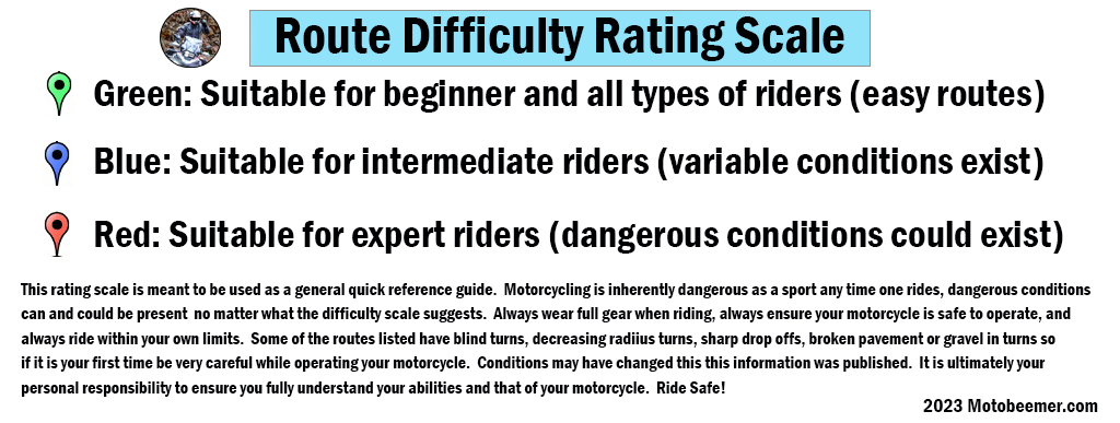
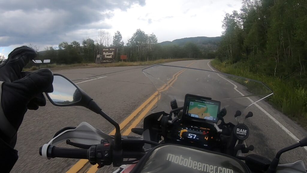
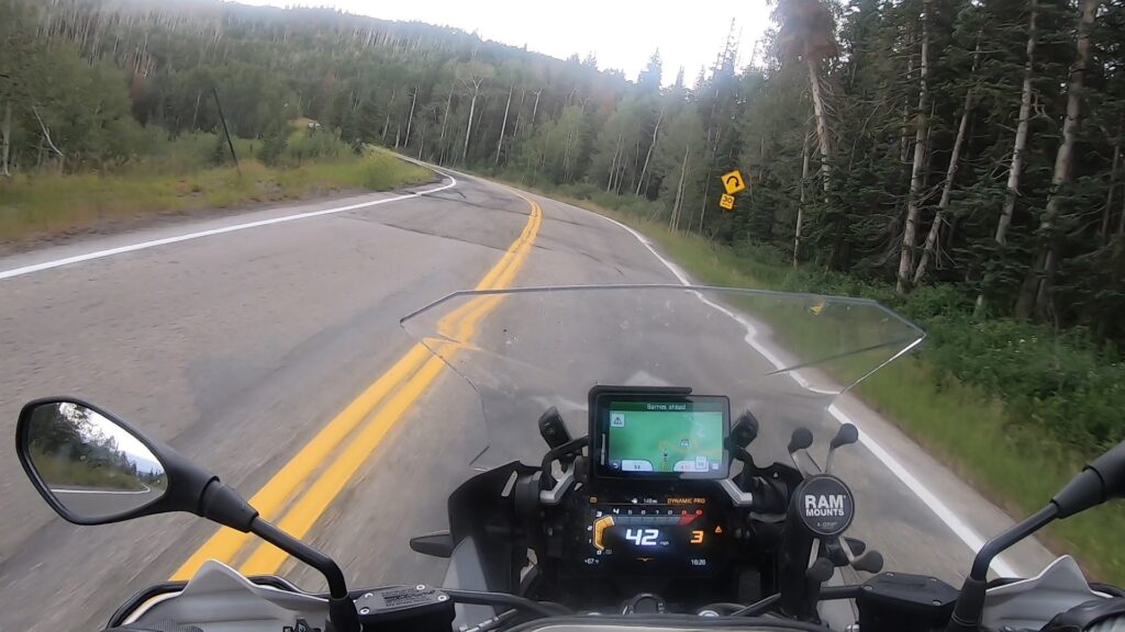
While CO 65 N is the portion that runs from 70 to Mesa, CO 65 S (remember these are my designations in order to split up sections of road) is part of the Grand Mesa Scenic Byway that runs through the National Forest portion and down into Cedaredge, CO. The road is passable by just about any rider on any type of motorcycle and I avoided making this an Intermediate road because it's really not that hard. However there is / were parts of the pavement that had large repair spots, some in the middle of turns with elevation shifts, and couple small sections of shelf road through the ride.
1. CO 65 S


The Grand Mesa National Forest is a U.S. National Forest in Mesa, Delta and Garfield Counties in Western Colorado. It borders the White River National Forest to the north and the Gunnison National Forest to the east. The forest covers most of Grand Mesa and the south part of Battlement Mesa. It has a total area of 346,555 acres (541.49 sq mi, or 1,402.46 km2). It is managed by the United States Forest Service together with Gunnison National Forest and Uncompahgre National Forest from offices in Delta, Colorado. There are local ranger district offices located in Grand Junction.
Source: Wikipedia
While CO 65 N is the portion that runs from 70 to Mesa, CO 65 S (remember these are my designations in order to split up sections of road) is part of the Grand Mesa Scenic Byway that runs through the National Forest portion and down into Cedaredge, CO. The road is passable by just about any rider on any type of motorcycle and I avoided making this an Intermediate road because it’s really not that hard. However there is / were parts of the pavement that had large repair spots, some in the middle of turns with elevation shifts, and couple small sections of shelf road through the ride.