- Created: August 6, 2023 1:52 am
- Updated: November 12, 2023 8:06 pm
- Distance Instructions
- Distance 68 miles
- Time 1 h 31 min
- Speed 46 mph
- Min altitude 5341 ft
- Peak 8789 ft
- Climb 5417 ft
- Descent 4518 ft
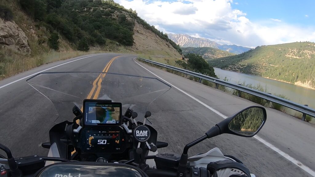
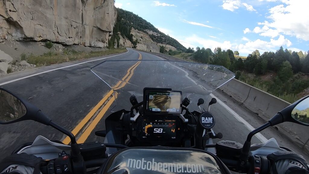
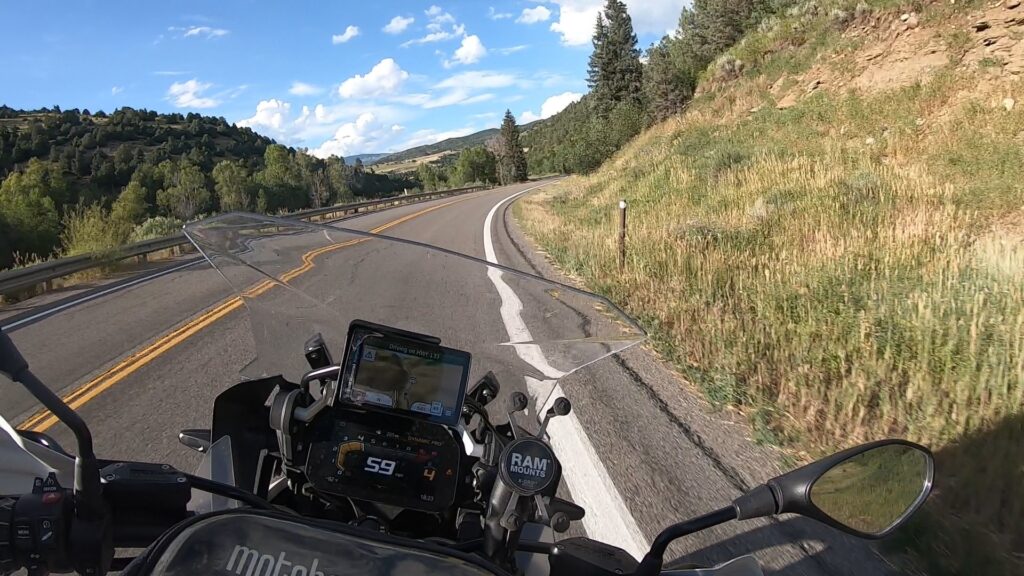
CO 133 (the good part) runs from Hotchkiss to Carbondale and has quite a bit of scenery along the way, as well as pretty great sequences of good but not too technical turns. This stretch of road can be ridden by just about every street bike by just about any type of rider. Mountain passes, gorge sections along the river, reservoirs and other scenery await the rider with plenty of places to pull over and snap photos.
The town of Marble is along the way if you're looking for a quick detour and bite to eat.
1. CO 133
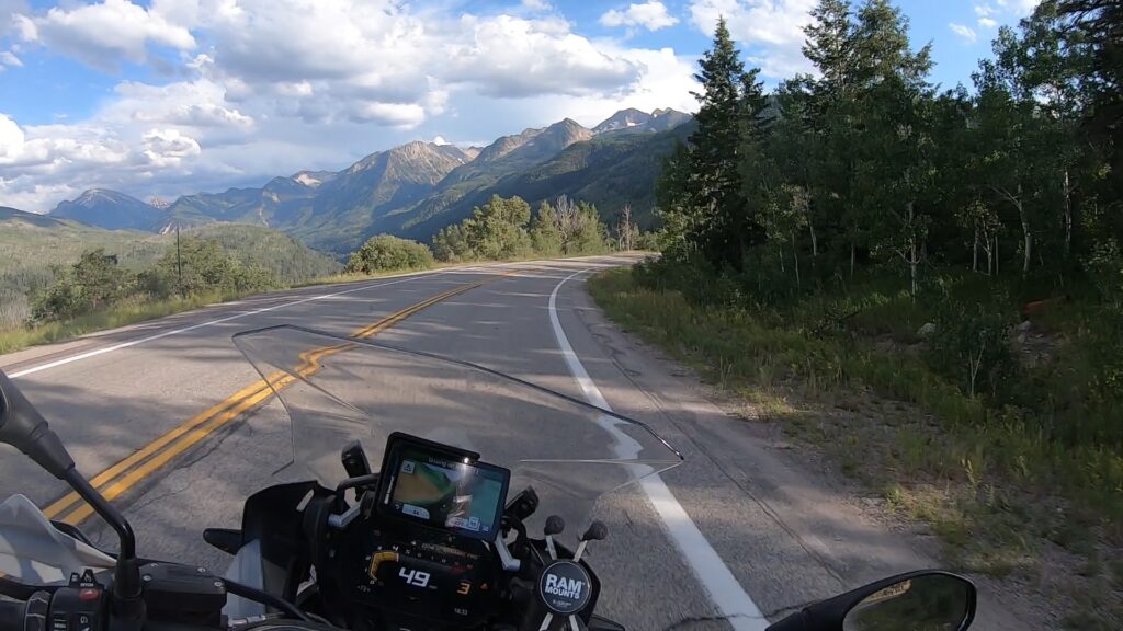
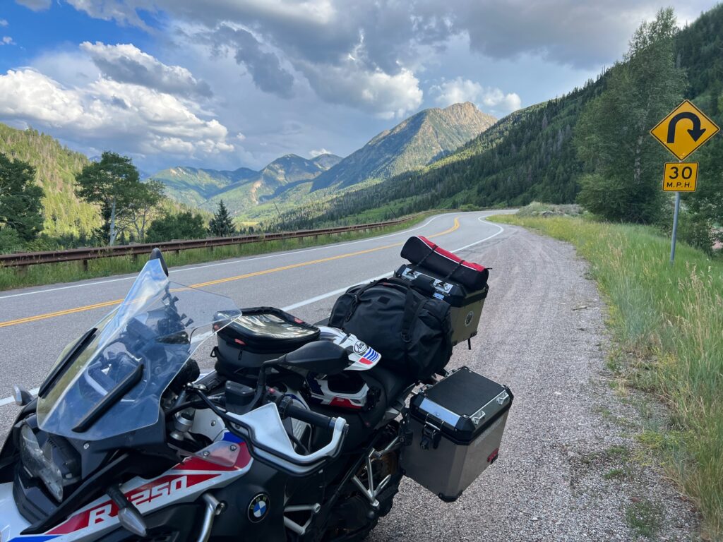
State Highway 133 (SH 133) is a 71.4 mi (114.9 km) long north–south byway connecting SH 92 to the south and SH 82 to the north, and travels through the towns of Hotchkiss, Somerset, Redstone, and Carbondale. Highway 133 travels over a significant mountain pass on the northern end, called McClure Pass, which is 8,755 ft (2,669 m) above sea level. The road travels right next to the Crystal River, known for whitewater river running.
The route was established in the 1920s, when SH 133 began at SH 135 in Bardine and ended at Carbondale. SH 133 was then reroutes from SH 135 at Crested Butte to Carbondale by 1936. The route's south terminus was adjusted back to Bardine in 1939, and a small gap at McClure pass was opened. By 1954, a large section of the route was deleted, leaving only a four-mile (6 km) road near Carbondale. The route was gradually expanded through the late 1950s and early 1960s. The route was entirely paved by 1978.
Source: Wikipedia
CO 133 (the good part) runs from Hotchkiss to Carbondale and has quite a bit of scenery along the way, as well as pretty great sequences of good but not too technical turns. This stretch of road can be ridden by just about every street bike by just about any type of rider. Mountain passes, gorge sections along the river, reservoirs and other scenery await the rider with plenty of places to pull over and snap photos.
The town of Marble is along the way if you’re looking for a quick detour and bite to eat.