- Created: July 29, 2023 3:18 pm
- Updated: November 10, 2023 2:05 am
- Distance Instructions
- Distance 32 miles
- Time 40 min
- Speed 49 mph
- Min altitude 6673 ft
- Peak 8579 ft
- Climb 4252 ft
- Descent 2943 ft

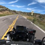
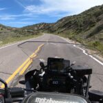
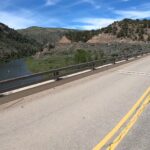
CO 131 begins in Wolcott, CO and runs north to the town of Toponas. One could take 131 all the way to Steamboat Springs but the route north of Toponas gets pretty tame, mostly wide open and not that exciting. This road is fantastic for all types of bikes and riders, boasting long sequences of sweepers which make it very fun to ride. The views and wide open spaces are great too, making this an all around fun road for almost anything on 2 wheels.
1. CO 131
State Highway 131 (SH 131) is a 68.7 mi (110.6 km) long north–south state highway in the U.S. State of Colorado. SH 131's southern terminus is at Interstate 70 (I-70) in Wolcott, and the northern terminus is at U.S. Route 40 (US 40) 4 miles (6.4 km) east of Steamboat Springs. SH 131 travels through the towns of State Bridge, Bond, McCoy, Toponas, Yampa, and Oak Creek.
The route was established in the 1920s, when it connected State Bridge to its current terminus at US 40. The route was then paved from its north end to Yampa by 1946. SH 11 (now moved) was deleted by 1954, giving the section from Wolcott to State Bridge to SH 131. The entire route was paved by 1970. SH 131 was then extended to I-70 in 1972.
Source: Wikipedia

CO 131 begins in Wolcott, CO and runs north to the town of Toponas. One could take 131 all the way to Steamboat Springs but the route north of Toponas gets pretty tame, mostly wide open and not that exciting. This road is fantastic for all types of bikes and riders, boasting long sequences of sweepers which make it very fun to ride. The views and wide open spaces are great too, making this an all around fun road for almost anything on 2 wheels.


