- Created: August 5, 2023 7:32 pm
- Updated: November 11, 2023 7:19 pm
- Distance Instructions
- Distance 60 miles
- Time 1 h 5 min
- Speed 56 mph
- Min altitude 7720 ft
- Peak 10157 ft
- Climb 3156 ft
- Descent 3261 ft
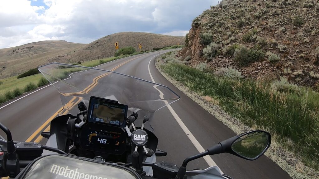
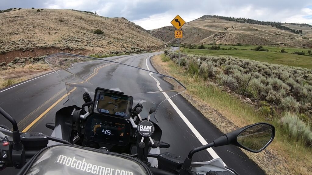
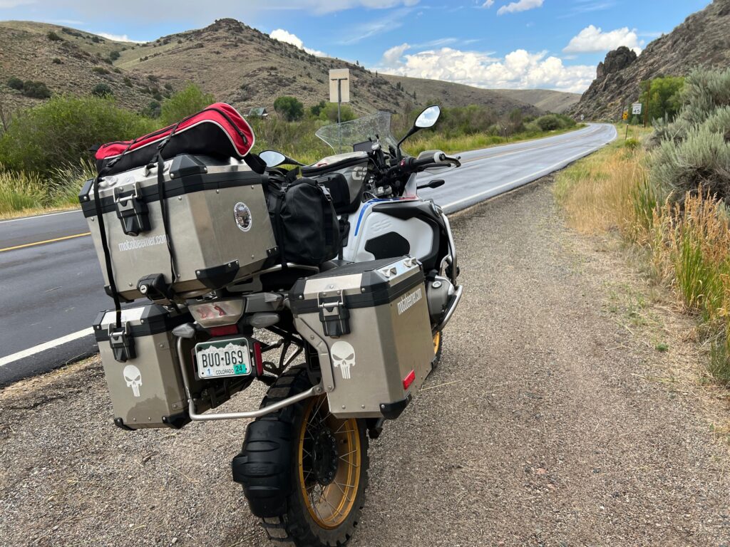
CO 114 is a very nice ride on very good pavement that starts just east of Gunnison, CO. Anyone can do this ride on any time of motorcycle, although beginners should remain cautious as turns can sneak up on you (read: you'll be fine just ride within your own limits). The scenery through here is very Colorado as you wind alongside a river for much of the ride before riding alongside Trickle Mountain.
On the day I decided to film this I got poured on halfway through so did not capture all of the route, but what I managed to get will give you a great idea of what to expect.
1. CO 114

State Highway 114 (SH 114) is a 61.7 mi (99.3 km) long state highway in southern central Colorado. SH 114's western terminus is at U.S. Route 50 (US 50) east of Gunnison, and the eastern terminus is at US 285 in Saguache.
SH 114 begins in the west at its junction with US 50 approximately eight miles east of Gunnison. From there the route initially proceeds southward for more than twenty miles (32 km) before turning more nearly eastward and entering Gunnison National Forest and climbing up to cross the Continental Divide at North Pass at an elevation of 10,149 ft (3,093 m). At North Pass the road crosses into Rio Grande National Forest through which it passes generally eastward for roughly four and a half miles before leaving National Forest Service land and continuing for a further twenty-six miles before reaching Saguache at the northern edge of the San Luis Valley. There the road finds its eastern terminus at US 285.
Source: Wikipedia
CO 114 is a very nice ride on very good pavement that starts just east of Gunnison, CO. Anyone can do this ride on any time of motorcycle, although beginners should remain cautious as turns can sneak up on you (read: you’ll be fine just ride within your own limits). The scenery through here is very Colorado as you wind alongside a river for much of the ride before riding alongside Trickle Mountain.
On the day I decided to film this I got poured on halfway through so did not capture all of the route, but what I managed to get will give you a great idea of what to expect.