- Created: July 14, 2023 5:52 pm
- Updated: November 9, 2023 3:20 pm
- Distance Instructions
- Distance 30 miles
- Time 53 min
- Speed 35 mph
- Min altitude 7569 ft
- Peak 11168 ft
- Climb 3937 ft
- Descent 3711 ft
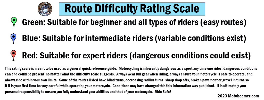
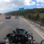
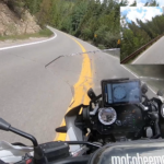
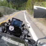
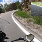
CO Highway 103 is a fantastic bit of road between Evergreen, CO and Idaho Springs, CO. With great pavement, amazing sequences of turns and views to accompany them it's a great all around road for any motorcycle or rider. Echo lake is near the center of the route as well as the road to Mount Evans (now Mount Blue Sky, reservations required), you can grab lunch on either end of the route. I would not take a beginner on this route simply because of the series of tight and linked turns near the Evergreen side. The Idaho Springs side has better pavement but a few hairpin and decreasing radius turns should be noted.
1. CO 103
The City of Idaho Springs is the statutory city that is the most populous municipality in Clear Creek County, Colorado, United States. Idaho Springs is a part of the Denver–Aurora–Lakewood, CO Metropolitan Statistical Area. As of the 2020 census it had a population of 1,782. Idaho Springs is located in Clear Creek Canyon, in the mountains upstream from Golden, some 30 miles (50 km) west of Denver.
Source: Wikipedia

CO Highway 103 is a fantastic bit of road between Evergreen, CO and Idaho Springs, CO. With great pavement, amazing sequences of turns and views to accompany them it’s a great all around road for any motorcycle or rider. Echo lake is near the center of the route as well as the road to Mount Evans (now Mount Blue Sky, reservations required), you can grab lunch on either end of the route. I would not take a beginner on this route simply because of the series of tight and linked turns near the Evergreen side. The Idaho Springs side has better pavement but a few hairpin and decreasing radius turns should be noted.

