- Created: July 29, 2023 4:30 pm
- Updated: November 10, 2023 2:37 pm
- Distance Instructions
- Distance 23 miles
- Time 1 h 20 min
- Speed 18 mph
- Min altitude 6545 ft
- Peak 8871 ft
- Climb 4075 ft
- Descent 2388 ft
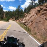
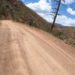
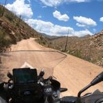
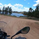
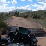
This is a longer dirt route which can connect you from Route 126 (near Deckers) over to Route 77 in the Pike National Forest. There are numerous campgrounds along the way making the traffic reasonable, a quick turn (3 miles in from 126) leads you to the Cheeseman Reservoir. There is very little shade on this route (mostly through a large burn area) so in hot conditions make sure you have plenty of water, and it winds on for quite some time (longer than you might expect). Some light shelf road action near the beginning of 126 but nothing substantial. Free Range Cattle can be on the road.
1. Cheeseman
Named for Denver water pioneer Walter S. Cheesman, the dam was once the world’s tallest at 221 feet above the streambed when completed in 1905. The Denver Water Board purchased the reservoir and related facilities in 1918. Cheesman was the first reservoir of Denver's mountain storage facilities and has been designated a National Historic Civil Engineering Landmark.
Source: Denverwater.org

This is a longer dirt route which can connect you from Route 126 (near Deckers) over to Route 77 in the Pike National Forest. There are numerous campgrounds along the way making the traffic reasonable, a quick turn (3 miles in from 126) leads you to the Cheeseman Reservoir. There is very little shade on this route (mostly through a large burn area) so in hot conditions make sure you have plenty of water, and it winds on for quite some time (longer than you might expect). Some light shelf road action near the beginning of 126 but nothing substantial. Free Range Cattle can be on the road.

