- Created: August 5, 2023 9:47 pm
- Updated: November 11, 2023 9:32 pm
- Distance Instructions
- Distance 44 miles
- Time 56 min
- Speed 48 mph
- Min altitude 6549 ft
- Peak 10902 ft
- Climb 5869 ft
- Descent 3107 ft
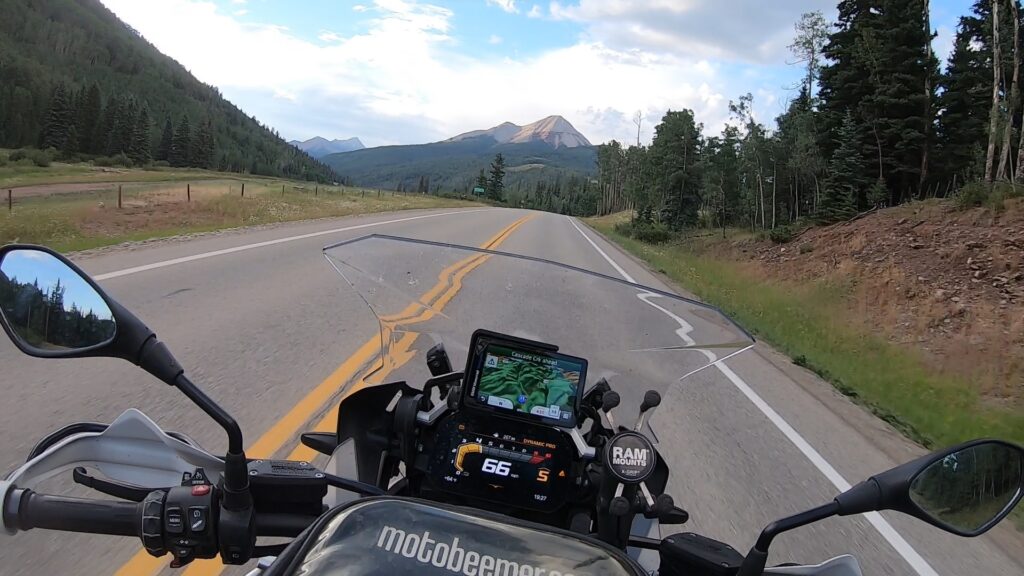
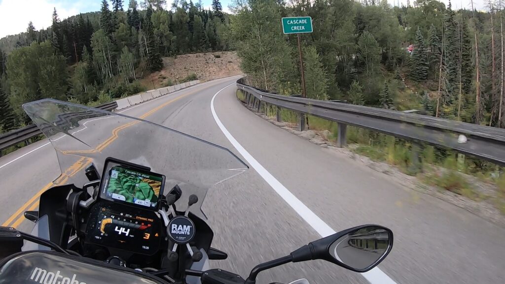
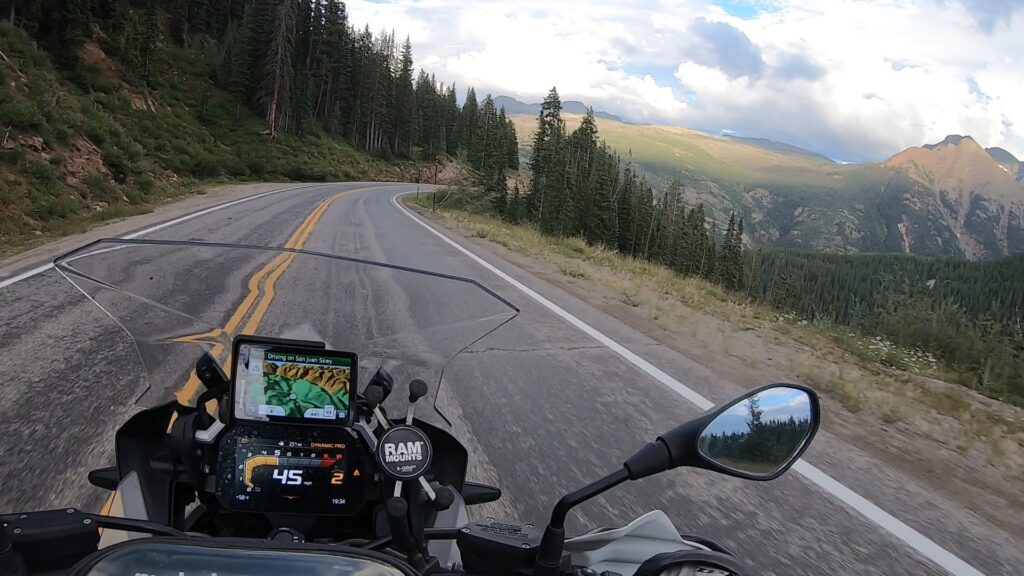
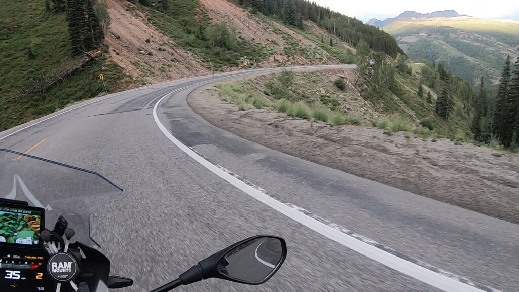
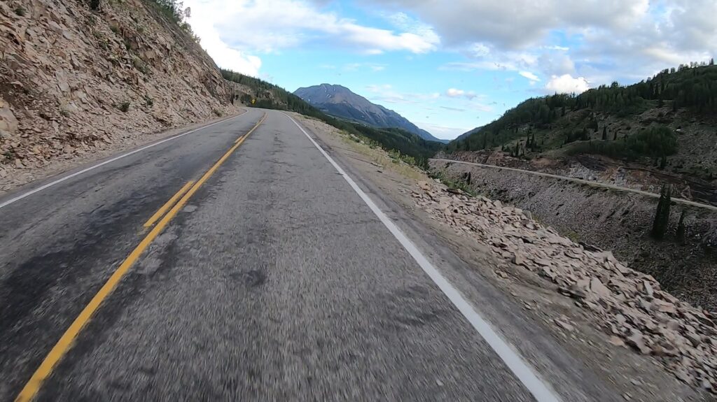
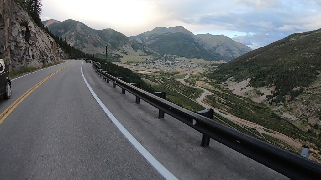
Route 550 is categorized as the lower / southern half of 550, the portion between Durango and Silverton, CO. This is a fantastic route that runs north through the San Juan National Forest which can be ridden on any street bike including any (and most beginner) riders. This route is a combination of lazy sweepers and connected turns that climb in elevation and then back down again. There is some shelf road (drop off) action with turns as you near Silverton but if you take it easy and remain focused you will be able to navigate it just fine. Plenty of pull offs for pictures and other things. I ran this in the evening and there were deer all over and next to the road so take care.
1. Route 550
U.S. Route 550 (US 550) is a spur of U.S. Highway 50 that runs from Bernalillo, New Mexico to Montrose, Colorado in the western United States. The section from Silverton to Ouray is frequently called the Million Dollar Highway.
Most of U.S. 550 in Colorado is two-lane mountainous highway. It is one of only two north–south U.S. Highways in Colorado which runs west of the Continental Divide. (The other route is US 491.) The route travels north through the San Juan Mountains.
Source: Wikipedia
Route 550 is categorized as the lower / southern half of 550, the portion between Durango and Silverton, CO. This is a fantastic route that runs north through the San Juan National Forest which can be ridden on any street bike including any (and most beginner) riders. This route is a combination of lazy sweepers and connected turns that climb in elevation and then back down again. There is some shelf road (drop off) action with turns as you near Silverton but if you take it easy and remain focused you will be able to navigate it just fine. Plenty of pull offs for pictures and other things. I ran this in the evening and there were deer all over and next to the road so take care.