- Created: July 11, 2023 9:11 pm
- Updated: November 9, 2023 4:59 am
- Distance Instructions
- Distance 16 miles
- Time 28 min
- Speed 35 mph
- Min altitude 5597 ft
- Peak 9134 ft
- Climb 3596 ft
- Descent 62 ft
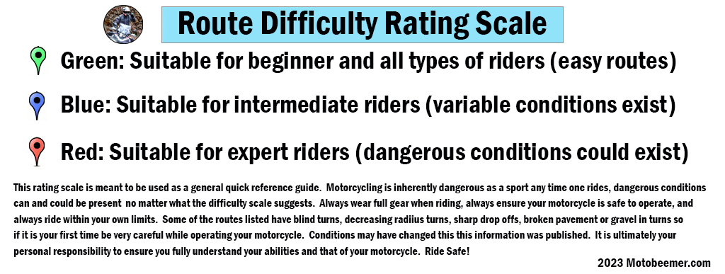
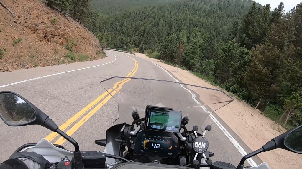
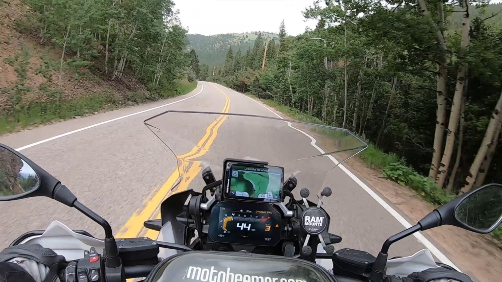
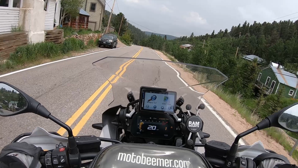
This is a great route just northwest of Boulder starting in Altona, CO that eventually ends in Ward, CO and the Peak to Peak Highway system. The route winds along Lefthand creek before eventually turning south and continuing to wind though the canyon with a combination of turns and creek views.
This route can be ridden on all types of motorcycles but is probably not for beginners in that there are some blind turns, hazards and other potentially challenging terrain that could impact the enjoyment of the ride.
1. Lefthand Canyon
Left Hand Creek is a tributary of Saint Vrain Creek, approximately 33.9 miles (54.6 km) long,[2] in Boulder County, Colorado in the United States. The creek drains a section of the foothills of the Front Range northwest of Boulder, descending from the mountains in a steep canyon, known as Left Hand Canyon. Left Hand Creek issues from Left Hand Park Reservoir along the north flank of Niwot Mountain. Flowing through a steep gorge to the East, passing below Ward (which sits roughly at the head of the canyon). It emerges from the foothills North of Boulder and crosses ranch lands the Colorado Piedmont, passing north of Niwot and joining St. Vrain Creek on the South edge of Longmont.
Lower Left Hand canyon is a popular destination for road biking, hiking, whitewater kayaking and rock climbing. It contains several City of Boulder Open Space parks along the Boulder County road that ascends into the canyon from U.S. Highway 36 north of Boulder. The canyon rims provide habitat for raptors and are seasonally closed to rock climbing during the late winter and early spring during nesting season.
Source: Wikipedia.com
This is a great route just northwest of Boulder starting in Altona, CO that eventually ends in Ward, CO and the Peak to Peak Highway system. The route winds along Lefthand creek before eventually turning south and continuing to wind though the canyon with a combination of turns and creek views.
This route can be ridden on all types of motorcycles but is probably not for beginners in that there are some blind turns, hazards and other potentially challenging terrain that could impact the enjoyment of the ride.