
- Created: June 24, 2023 9:55 pm
- Updated: November 8, 2023 11:36 pm
- Distance Instructions
- Distance 12 miles
- Time 21 min
- Speed 35 mph
- Min altitude 9449 ft
- Peak 11991 ft
- Climb 1214 ft
- Descent 2543 ft
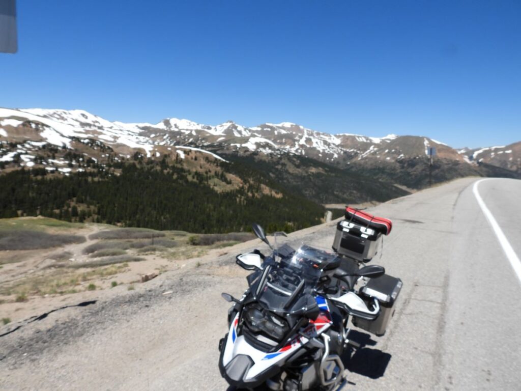
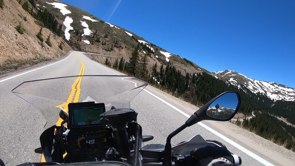
Loveland Pass is a high mountain pass with great pavement and stunning views of the Arapahoe Basin Ski Area, with a great spot to park and get pictures from the top. The start point begins at the base of the Loveland Ski area, or about 57 miles / 1 hour west of Denver, CO off of Interstate 70. Once at the top the road drops down past A Basin and ends up at Keystone Resort.
Both sides of the pass are a great motorcycle ride, often with snow visible into June and sometimes even July just off of the road. Be aware of sheer drop offs with no guardrail in some areas as well as Semi Trucks that have to navigate the pass because they are not allowed to drive through the Eisenhower Tunnel. The Keystone side of the pass is a longer ride with a few more turns but a nice blast up the Loveland side is sure to yield some smiles and fantastic views.
1. Loveland Pass
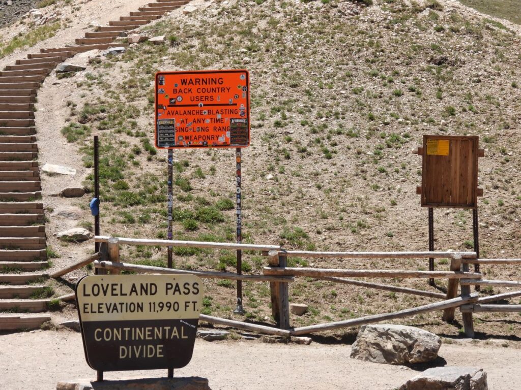
Loveland Pass is a high mountain pass in north-central Colorado, at an elevation of 11,990 feet (3,655 m) above sea level in the Rocky Mountains of the Western United States. It is located on the Continental Divide in the Front Range, west of Denver on U.S. Highway 6 (US 6). The twisty road is considered to be especially treacherous during the winter months. A steep, steady 6.7% grade, along with numerous hairpin turns on either side, make it difficult to snowplow the road regularly.
The pass is named for William A.H. Loveland, the president of the Colorado Central Railroad and a resident of Golden during the late 19th century. The city of Loveland, in Larimer County near Fort Collins, is also named after him. Loveland held a railroad charter and was an advocate for a wagon road between Denver and Leadville. In 1869, he opened this section of wagon road now known as Loveland Pass. It would be abandoned in 1906 and then restored for vehicle use in 1920 by the U.S. Forest Service.
Source: Wikipedia
Loveland Pass is a high mountain pass with great pavement and stunning views of the Arapahoe Basin Ski Area, with a great spot to park and get pictures from the top. The start point begins at the base of the Loveland Ski area, or about 57 miles / 1 hour west of Denver, CO off of Interstate 70. Once at the top the road drops down past A Basin and ends up at Keystone Resort.
Both sides of the pass are a great motorcycle ride, often with snow visible into June and sometimes even July just off of the road. Be aware of sheer drop offs with no guardrail in some areas as well as Semi Trucks that have to navigate the pass because they are not allowed to drive through the Eisenhower Tunnel. The Keystone side of the pass is a longer ride with a few more turns but a nice blast up the Loveland side is sure to yield some smiles and fantastic views.

2 comments
Nicely done. Good luck with this venture.
Author
Thanks Dr. Bill!